• Bearah and Kilmar in the autumn mist

On one of my favourite walks, this time with two friends who’ve not been on it before, past the ‘faery’ glen of oaks and boulders strewn across the middle reaches of Shales Brook, then through the sometimes impenetrable mist lying between Bearah and Kilmar Tors, and round via the old quarry railway track, past startled cattle, to the far left-hand side of Kilmar, overlooking Trewortha Farm (invisible in today’s weather).  Up to our right loomed the unmistakeable profile of West Turret (see one of last year’s posts Stupendous Pile).  Altogether very atmospheric and wet.IMG_8014 copy

IMG_8015 copy

IMG_8022 copy

• Stupendous Pile

The most impressive cheesewring in these ‘ere parts – to my mind at least – is not the famous one near Minions, magnificent though that is, but one that perches at the western end of Kilmar Tor, a couple of miles away.  The Cornish topographer Thomas Bond (1765-1837) described this cheesewring as a ‘stupendous pile’ and called it the ‘Western Turret’.  It’s also known as ‘The Kilmarth’.  More recently, rock climbers and boulderers have devised half-a-dozen routes up to its summit, one called ‘Western Turret’ and others with five fantastic names to match: ‘Avoidance’, ‘Special Llama’, ‘Light Trip Fandangle’, ‘Two Slaps No Fly’ and ‘Sleepy Hollow’.  Only the brave would attempt these routes, especially on a fiercely windy day like today.  I’ve never seen anyone on them.  There is a terrific guide for those who are tempted to do so, or even for a passive reader like me: Barnaby Carver & Sean Hawken, Cheesewring and South East Cornwall: A Climbers’ Guide (St Ives Printing & Publishing Company, 1998, rev. 2012).

IMG_7097

This ‘stupendous pile’ leans both to the north and to the west and its distinctive profile is visible from afar, from the SE clockwise round to the NE.  These two shots – a bit dark, but so was the light – are taken from the east, where a walk along the full spine takes several hours.  What is remarkable, at least to a layman like myself, is how it stays upright.  When you approach more closely, you can see that to the left of the turret (the south side) a whole slew of supporting cheesewrings has sheered off, leaving the rest perilously balanced.  But you can just about work out that the central gravitational line is sufficiently to the right to support the whole turret.  It still looks as if one push might topple it to the left or to the right, but it’s obviously more sturdy than that.  At least, I hope it is.

Sometime I must go up and take a more revealing set of photographs.

IMG_7102

• Pond on the Moor

Between Bearah and Kilmar Tors there is a watering hole that never dries up.  Here it is a few days before Christmas, looking north-west.

IMG_6577 copy

• Mill and Boundary Stones

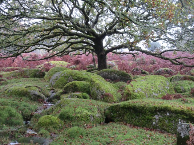
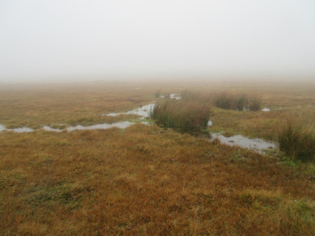
In a couple of months’ time I’m leading the final section of the beating of the boundary of North Hill parish.  It’s the longest section at around 9 miles, and starts at the crossroad at Blackcoombe over to Clitters.  It’s all across the south-eastern part of Bodmin Moor, involving the crossing of streams, an abandoned railway track and marshy areas.  The route is marked by boundary stones, most of which are marked on the OS map.  Some are easy to spot, like the vertical granite posts.  Some are existing rocks on which the inscriptions have been carved.  So today it was a case of scouting the first few BSs.

En route up Shales Brook south of the track to Bearah Quarry, we found a couple of abandoned mill stones, one of which looked perfectly fine but the stonemason must have realised that it was flawed in some respect.

IMG_3109 copy

A little further up the slope, you could easily pass this boulder without spotting the inscription, especially if the light was dull.  (And I did clear away a bit of moss to expose it all.)

IMG_3112 copy

This is clearer: boundary rock ’12’, ‘RIL’ [= Rillaton Manor], ‘1846’.

IMG_3113 copy

No.’11’, ‘RIL’ ‘1846’ is carved on the largest slab of granite at the eastern end of Bearah Tor, from where you follow the toothed line of small granite stones to the east and by the modern stock-fence you will find an upright carved stone: ’10’, ‘RIL’, ‘1846’.IMG_3121 copy

If you then follow the eye towards the leaning cheesewring on Kilmar Tor to the north, you will see the old quarry railway embankment.  Just the other side of it is another upright boundary stone: ‘9’, ‘RIL’, ‘1846’.

IMG_3123 copy

%d bloggers like this: